
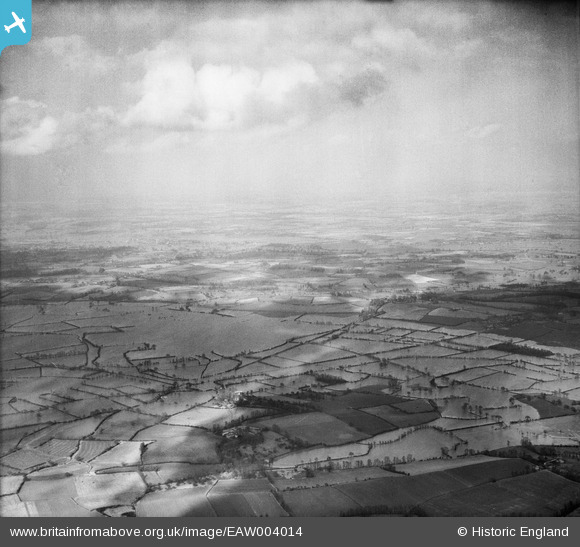
EAW004014 ENGLAND (1947). Flooding at Longdon Marsh and Marsh End, Longdon, from the south-west, 1947
© Hawlfraint cyfranwyr OpenStreetMap a thrwyddedwyd gan yr OpenStreetMap Foundation. 2025. Trwyddedir y gartograffeg fel CC BY-SA.
Manylion
| Pennawd | [EAW004014] Flooding at Longdon Marsh and Marsh End, Longdon, from the south-west, 1947 |
| Cyfeirnod | EAW004014 |
| Dyddiad | 21-March-1947 |
| Dolen | |
| Enw lle | LONGDON |
| Plwyf | LONGDON |
| Ardal | |
| Gwlad | ENGLAND |
| Dwyreiniad / Gogleddiad | 382057, 235481 |
| Hydred / Lledred | -2.2614918212547, 52.017039287483 |
| Cyfeirnod Grid Cenedlaethol | SO821355 |
Pinnau

Cyfraniadau Grŵp
Thanks for the pins Class31. We'll update the catalogue and post your new data here in due course. Yours, Katy Britain from Above Cataloguing Team Leader |
Katy Whitaker |
Tuesday 3rd of September 2013 01:00:45 PM |