
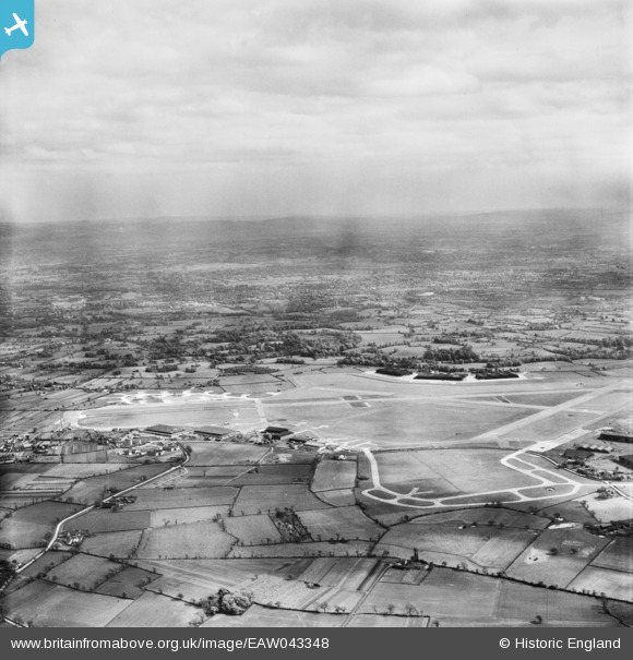
EAW043348 ENGLAND (1952). Manchester Airport, Castle Hill, from the north-west, 1952
© Hawlfraint cyfranwyr OpenStreetMap a thrwyddedwyd gan yr OpenStreetMap Foundation. 2025. Trwyddedir y gartograffeg fel CC BY-SA.
Manylion
| Pennawd | [EAW043348] Manchester Airport, Castle Hill, from the north-west, 1952 |
| Cyfeirnod | EAW043348 |
| Dyddiad | 16-May-1952 |
| Dolen | |
| Enw lle | CASTLE HILL |
| Plwyf | RINGWAY |
| Ardal | |
| Gwlad | ENGLAND |
| Dwyreiniad / Gogleddiad | 381753, 385111 |
| Hydred / Lledred | -2.2742228451756, 53.362291310126 |
| Cyfeirnod Grid Cenedlaethol | SJ818851 |
Pinnau
 Alastair |
Saturday 17th of March 2018 05:42:30 PM | |
John Ellis |
Monday 12th of January 2015 06:43:14 PM | |
John Ellis |
Monday 12th of January 2015 06:42:06 PM | |
John Ellis |
Monday 12th of January 2015 06:41:31 PM | |
John Ellis |
Monday 12th of January 2015 06:38:13 PM | |
John Ellis |
Monday 12th of January 2015 06:37:05 PM | |
John Ellis |
Monday 12th of January 2015 06:36:25 PM | |
John Ellis |
Monday 12th of January 2015 06:34:51 PM | |
John Ellis |
Monday 12th of January 2015 06:34:17 PM | |
John Ellis |
Monday 12th of January 2015 06:27:32 PM | |
John Ellis |
Monday 12th of January 2015 06:15:10 PM | |
John Ellis |
Monday 12th of January 2015 06:14:38 PM | |
John Ellis |
Monday 12th of January 2015 06:14:01 PM | |
John Ellis |
Monday 12th of January 2015 06:13:11 PM | |
John Ellis |
Monday 12th of January 2015 06:12:14 PM | |
John Ellis |
Monday 12th of January 2015 06:11:35 PM | |
John Ellis |
Monday 12th of January 2015 06:03:45 PM | |
John Ellis |
Monday 12th of January 2015 06:03:06 PM |