
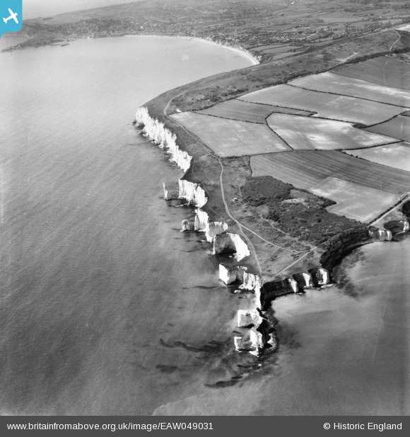
EAW049031 ENGLAND (1953). Handfast Point, The Pinnacles and Swanage Bay, Studland, 1953
© Hawlfraint cyfranwyr OpenStreetMap a thrwyddedwyd gan yr OpenStreetMap Foundation. 2025. Trwyddedir y gartograffeg fel CC BY-SA.
Manylion
| Pennawd | [EAW049031] Handfast Point, The Pinnacles and Swanage Bay, Studland, 1953 |
| Cyfeirnod | EAW049031 |
| Dyddiad | 4-May-1953 |
| Dolen | |
| Enw lle | STUDLAND |
| Plwyf | STUDLAND |
| Ardal | |
| Gwlad | ENGLAND |
| Dwyreiniad / Gogleddiad | 405300, 82161 |
| Hydred / Lledred | -1.9250423802371, 50.638533483835 |
| Cyfeirnod Grid Cenedlaethol | SZ053822 |
Pinnau
 John W |
Thursday 12th of May 2016 04:42:24 PM | |
John W |
Thursday 12th of May 2016 04:41:46 PM | |
Peter Kirk |
Saturday 7th of June 2014 09:41:28 AM |