
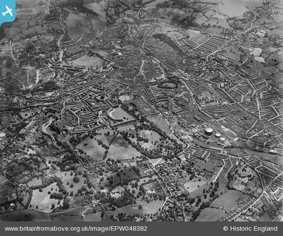
EPW048382 ENGLAND (1935). Royal Victoria Park and the city, Bath, from the north-west, 1935
© Hawlfraint cyfranwyr OpenStreetMap a thrwyddedwyd gan yr OpenStreetMap Foundation. 2025. Trwyddedir y gartograffeg fel CC BY-SA.
Manylion
| Pennawd | [EPW048382] Royal Victoria Park and the city, Bath, from the north-west, 1935 |
| Cyfeirnod | EPW048382 |
| Dyddiad | July-1935 |
| Dolen | |
| Enw lle | BATH |
| Plwyf | |
| Ardal | |
| Gwlad | ENGLAND |
| Dwyreiniad / Gogleddiad | 373880, 165792 |
| Hydred / Lledred | -2.3754340007776, 51.390071111506 |
| Cyfeirnod Grid Cenedlaethol | ST739658 |
Pinnau
 Pink Sparkle Girl |
Saturday 8th of March 2025 12:49:19 PM | |
 gBr |
Tuesday 17th of November 2015 07:37:24 PM | |
gBr |
Tuesday 17th of November 2015 07:34:30 PM | |
gBr |
Tuesday 17th of November 2015 07:33:34 PM | |
gBr |
Tuesday 17th of November 2015 07:31:47 PM | |
 Class31 |
Wednesday 31st of July 2013 10:55:56 PM | |
Class31 |
Wednesday 31st of July 2013 10:54:49 PM | |
Class31 |
Saturday 18th of May 2013 08:01:16 PM | |
Class31 |
Saturday 18th of May 2013 07:57:58 PM | |
Class31 |
Saturday 18th of May 2013 07:56:13 PM | |
Class31 |
Saturday 18th of May 2013 07:55:27 PM | |
Class31 |
Saturday 18th of May 2013 07:54:29 PM | |
Class31 |
Saturday 18th of May 2013 07:53:51 PM | |
Class31 |
Saturday 18th of May 2013 07:53:21 PM |

Cyfraniadau Grŵp
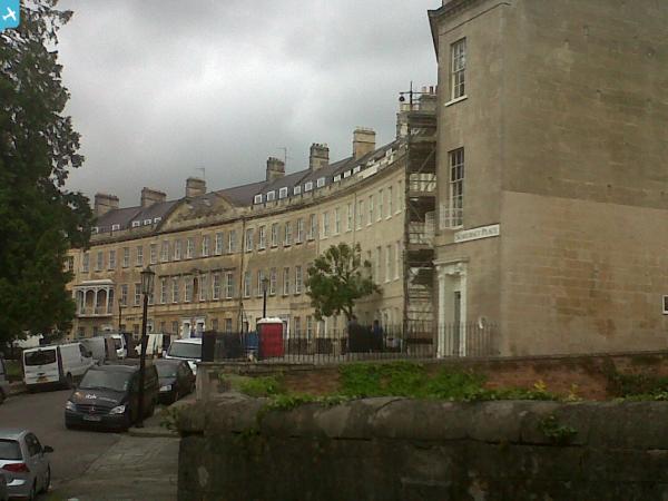
 Somerset Place |
Class31 |
Wednesday 31st of July 2013 10:56:49 PM |