
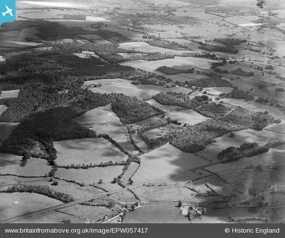
EPW057417 ENGLAND (1938). Drove Copse, Cadbury Wood and surrounding countryside, Mottisfont, 1938
© Hawlfraint cyfranwyr OpenStreetMap a thrwyddedwyd gan yr OpenStreetMap Foundation. 2025. Trwyddedir y gartograffeg fel CC BY-SA.
Manylion
| Pennawd | [EPW057417] Drove Copse, Cadbury Wood and surrounding countryside, Mottisfont, 1938 |
| Cyfeirnod | EPW057417 |
| Dyddiad | 3-June-1938 |
| Dolen | |
| Enw lle | MOTTISFONT |
| Plwyf | MOTTISFONT |
| Ardal | |
| Gwlad | ENGLAND |
| Dwyreiniad / Gogleddiad | 431017, 126967 |
| Hydred / Lledred | -1.5575406009192, 51.040683903389 |
| Cyfeirnod Grid Cenedlaethol | SU310270 |
Pinnau
 Lee |
Wednesday 6th of November 2013 01:40:07 AM | |
Lee |
Wednesday 6th of November 2013 01:37:07 AM | |
Lee |
Wednesday 6th of November 2013 01:36:14 AM | |
Lee |
Wednesday 6th of November 2013 01:32:38 AM | |
Lee |
Wednesday 6th of November 2013 01:31:28 AM | |
Lee |
Wednesday 6th of November 2013 01:30:35 AM | |
Lee |
Wednesday 6th of November 2013 01:27:25 AM | |
Lee |
Wednesday 6th of November 2013 01:26:26 AM | |
Lee |
Wednesday 6th of November 2013 01:24:44 AM | |
Lee |
Wednesday 23rd of October 2013 05:00:13 AM | |
 totoro |
Monday 12th of August 2013 09:40:01 PM | |
totoro |
Monday 12th of August 2013 09:39:39 PM | |
totoro |
Monday 12th of August 2013 09:38:52 PM | |
totoro |
Monday 12th of August 2013 09:38:11 PM | |
totoro |
Monday 12th of August 2013 09:37:23 PM | |
totoro |
Monday 12th of August 2013 09:36:15 PM | |
totoro |
Monday 12th of August 2013 09:35:59 PM | |
totoro |
Monday 12th of August 2013 09:35:32 PM |
