
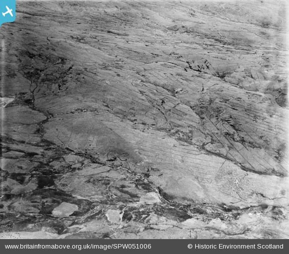
SPW051006 SCOTLAND (1936). Glenapp Estate. An oblique aerial photograph facing east.
© Hawlfraint cyfranwyr OpenStreetMap a thrwyddedwyd gan yr OpenStreetMap Foundation. 2025. Trwyddedir y gartograffeg fel CC BY-SA.
Manylion
| Pennawd | [SPW051006] Glenapp Estate. An oblique aerial photograph facing east. |
| Cyfeirnod | SPW051006 |
| Dyddiad | 1936 |
| Dolen | Canmore Collection item 1258071 |
| Enw lle | |
| Plwyf | BALLANTRAE (WIGTOWN) |
| Ardal | WIGTOWN |
| Gwlad | SCOTLAND |
| Dwyreiniad / Gogleddiad | 211660, 574270 |
| Hydred / Lledred | -4.9469806776983, 55.027159128598 |
| Cyfeirnod Grid Cenedlaethol | NX117743 |
Pinnau
 Class31 |
Tuesday 24th of July 2012 09:52:42 PM | |
Class31 |
Tuesday 24th of July 2012 09:51:04 PM | |
Class31 |
Tuesday 24th of July 2012 09:46:52 PM | |
Class31 |
Tuesday 24th of July 2012 09:44:48 PM |
Cyfraniadau Grŵp
Dear Class 31, Thanks for your sterling work on the Glenapp Estate photos. It has certainly been a challenge trying to find landmarks in this particular landscape. I'm happy to validate this photo as the Pinwherran burn. The revised record will appear here in due course. Brian Wilkinson Britain from Above Activity Officer (Scotland) |
 Brian Wilkinson |
Thursday 6th of September 2012 02:29:31 PM |
Looks like this is the last of the unlocated photos of the Glenapp Estate for the time being. I have enjoyed the challenge of locating photos in places where there are no line features and very few features at all. This shot is taken looking Northeast over the Pinwerran Burn towards Laighmilldown and Laganabeastie Burn. To the left may be seen the disused dam also in SPW051008. |
Class31 |
Tuesday 24th of July 2012 10:02:20 PM |