
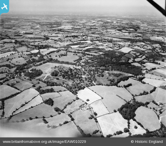
EAW010229 ENGLAND (1947). Weald Park, South Weald, from the south-east, 1947
© Copyright OpenStreetMap contributors and licensed by the OpenStreetMap Foundation. 2025. Cartography is licensed as CC BY-SA.
Details
| Title | [EAW010229] Weald Park, South Weald, from the south-east, 1947 |
| Reference | EAW010229 |
| Date | 12-August-1947 |
| Link | |
| Place name | SOUTH WEALD |
| Parish | |
| District | |
| Country | ENGLAND |
| Easting / Northing | 557947, 194136 |
| Longitude / Latitude | 0.28199842787387, 51.623376719726 |
| National Grid Reference | TQ579941 |
Pins
Be the first to add a comment to this image!