
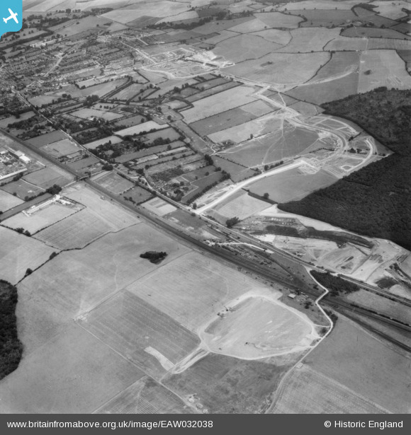
EAW032038 ENGLAND (1950). The Monkswood Estate in the early stages of construction and environs, Stevenage, 1950
© Copyright OpenStreetMap contributors and licensed by the OpenStreetMap Foundation. 2025. Cartography is licensed as CC BY-SA.
Details
| Title | [EAW032038] The Monkswood Estate in the early stages of construction and environs, Stevenage, 1950 |
| Reference | EAW032038 |
| Date | 23-August-1950 |
| Link | |
| Place name | STEVENAGE |
| Parish | |
| District | |
| Country | ENGLAND |
| Easting / Northing | 523905, 223303 |
| Longitude / Latitude | -0.19913895573142, 51.894047837349 |
| National Grid Reference | TL239233 |
Pins
 paulinuk |
Monday 18th of January 2021 05:43:12 PM | |
andy |
Thursday 22nd of October 2020 01:56:56 PM | |
andy |
Monday 22nd of July 2019 04:27:29 PM | |
John W |
Thursday 5th of January 2017 08:09:34 PM | |
Chells809 |
Saturday 10th of May 2014 11:15:59 PM | |
Chells809 |
Saturday 10th of May 2014 11:14:25 PM | |
Chells809 |
Saturday 10th of May 2014 11:12:38 PM | |
The present Stevenage station is just north of this location. |
John W |
Thursday 5th of January 2017 08:12:09 PM |
Chells809 |
Saturday 10th of May 2014 11:10:18 PM | |
Chells809 |
Saturday 10th of May 2014 11:09:15 PM | |
Chells809 |
Saturday 10th of May 2014 11:07:16 PM |