
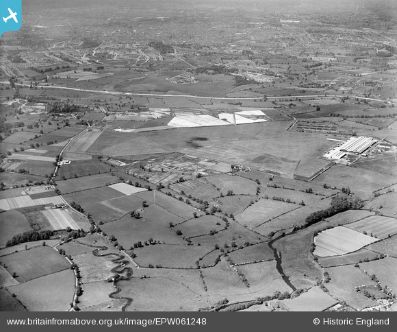
EPW061248 ENGLAND (1939). Coventry Aerodrome and the surrounding countryside, Baginton, 1939
© Copyright OpenStreetMap contributors and licensed by the OpenStreetMap Foundation. 2025. Cartography is licensed as CC BY-SA.
Details
| Title | [EPW061248] Coventry Aerodrome and the surrounding countryside, Baginton, 1939 |
| Reference | EPW061248 |
| Date | 31-May-1939 |
| Link | |
| Place name | BAGINTON |
| Parish | BAGINTON |
| District | |
| Country | ENGLAND |
| Easting / Northing | 435425, 274070 |
| Longitude / Latitude | -1.4797086785896, 52.363155257309 |
| National Grid Reference | SP354741 |
Pins
 Mick Downes |
Monday 21st of July 2025 04:12:24 PM | |
Mick Downes |
Monday 21st of July 2025 04:09:53 PM | |
NottmJas |
Saturday 1st of March 2025 11:49:41 AM | |
NottmJas |
Saturday 1st of March 2025 11:48:57 AM | |
Avsnapper |
Sunday 2nd of November 2014 12:04:29 PM | |
Avsnapper |
Sunday 2nd of November 2014 12:02:15 PM | |
Avsnapper |
Sunday 2nd of November 2014 12:00:52 PM | |
JG |
Monday 21st of October 2013 10:54:06 AM | |
JG |
Monday 21st of October 2013 10:53:37 AM |