
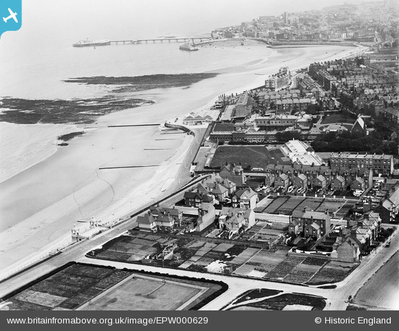
EPW000629 ENGLAND (1920). Westbrook, Margate, from the west, 1920
© Hawlfraint cyfranwyr OpenStreetMap a thrwyddedwyd gan yr OpenStreetMap Foundation. 2025. Trwyddedir y gartograffeg fel CC BY-SA.
Delweddau cyfagos (3)
EPW000629

EPW018608

EPW039396

Manylion
| Pennawd | [EPW000629] Westbrook, Margate, from the west, 1920 |
| Cyfeirnod | EPW000629 |
| Dyddiad | April-1920 |
| Dolen | |
| Enw lle | WESTBROOK |
| Plwyf | |
| Ardal | |
| Gwlad | ENGLAND |
| Dwyreiniad / Gogleddiad | 634108, 170457 |
| Hydred / Lledred | 1.364932756827, 51.384295462601 |
| Cyfeirnod Grid Cenedlaethol | TR341705 |
Pinnau
 Mark Godden |
Sunday 20th of April 2025 10:33:59 AM | |
Mark Godden |
Sunday 20th of April 2025 10:31:14 AM | |
Mark Godden |
Sunday 20th of April 2025 10:28:52 AM | |
Mark Godden |
Sunday 20th of April 2025 10:27:35 AM |