
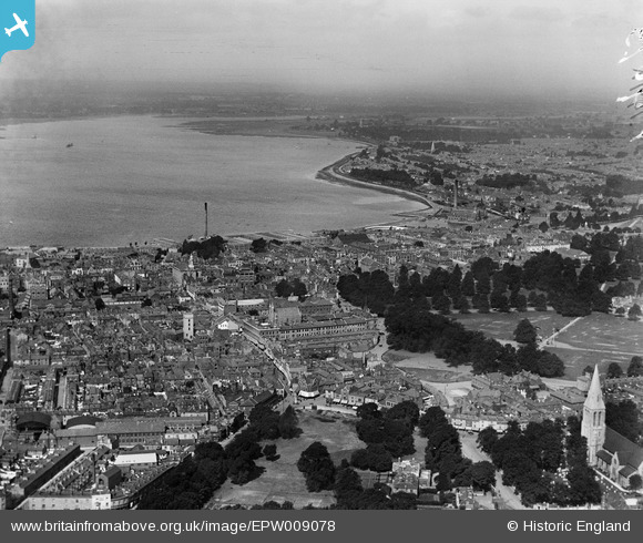
EPW009078 ENGLAND (1923). View of Southampton from Hoglands Park area, Southampton, from the east, 1923
© Hawlfraint cyfranwyr OpenStreetMap a thrwyddedwyd gan yr OpenStreetMap Foundation. 2025. Trwyddedir y gartograffeg fel CC BY-SA.
Delweddau cyfagos (4)
EPW009078

EPW013581

EPW020448

EPW020453

Manylion
| Pennawd | [EPW009078] View of Southampton from Hoglands Park area, Southampton, from the east, 1923 |
| Cyfeirnod | EPW009078 |
| Dyddiad | 1923 |
| Dolen | |
| Enw lle | SOUTHAMPTON |
| Plwyf | |
| Ardal | |
| Gwlad | ENGLAND |
| Dwyreiniad / Gogleddiad | 442436, 111542 |
| Hydred / Lledred | -1.3964567813272, 50.90123948276 |
| Cyfeirnod Grid Cenedlaethol | SU424115 |
Pinnau
 Andy Russel |
Monday 1st of May 2023 11:38:45 PM | |
 Class31 |
Tuesday 6th of August 2013 08:42:43 AM | |
Class31 |
Tuesday 6th of August 2013 08:41:39 AM | |
Class31 |
Tuesday 6th of August 2013 08:40:50 AM | |
Class31 |
Tuesday 6th of August 2013 08:40:07 AM | |
Class31 |
Tuesday 6th of August 2013 08:38:48 AM | |
Class31 |
Tuesday 6th of August 2013 08:36:27 AM | |
Class31 |
Tuesday 6th of August 2013 08:35:51 AM | |
Class31 |
Tuesday 6th of August 2013 08:34:56 AM |
Cyfraniadau Grŵp
 St. Mary's Church, Southampton 29/05/2014 |
Class31 |
Thursday 29th of May 2014 06:20:09 PM |