
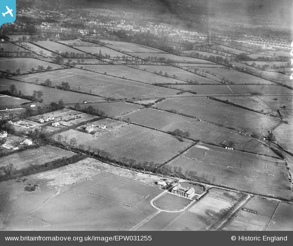
EPW031255 ENGLAND (1930). The Cavendish Recreation Ground and environs, Eastcote, from the south-west, 1930.
© Hawlfraint cyfranwyr OpenStreetMap a thrwyddedwyd gan yr OpenStreetMap Foundation. 2025. Trwyddedir y gartograffeg fel CC BY-SA.
Delweddau cyfagos (5)
EPW031255

EPW031246

EPW031248

EPW044506

EPW031254

Manylion
| Pennawd | [EPW031255] The Cavendish Recreation Ground and environs, Eastcote, from the south-west, 1930. |
| Cyfeirnod | EPW031255 |
| Dyddiad | 7-February-1930 |
| Dolen | |
| Enw lle | EASTCOTE |
| Plwyf | |
| Ardal | |
| Gwlad | ENGLAND |
| Dwyreiniad / Gogleddiad | 511318, 187281 |
| Hydred / Lledred | -0.39352215567272, 51.572917830717 |
| Cyfeirnod Grid Cenedlaethol | TQ113873 |
Pinnau
Cyfraniadau Grŵp
Eastcote was in Middlesex. |
 Class31 |
Monday 22nd of October 2012 12:07:56 PM |