EPW031289 ENGLAND (1930). The River Colne at Tolpits, Northwood, 1930

© Hawlfraint cyfranwyr OpenStreetMap a thrwyddedwyd gan yr OpenStreetMap Foundation. 2025. Trwyddedir y gartograffeg fel CC BY-SA.
Delweddau cyfagos (2)
EPW031289

EPW040894

Manylion
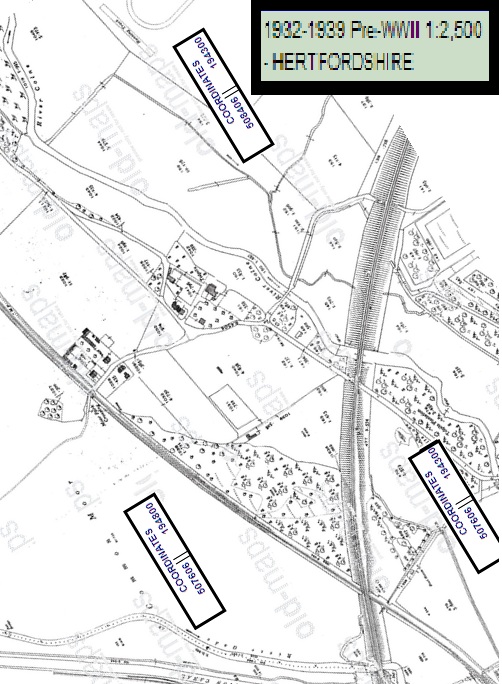
| Pennawd | [EPW031289] The River Colne at Tolpits, Northwood, 1930 |
| Cyfeirnod | EPW031289 |
| Dyddiad | 11-February-1930 |
| Dolen | |
| Enw lle | NORTHWOOD |
| Plwyf | |
| Ardal | |
| Gwlad | ENGLAND |
| Dwyreiniad / Gogleddiad | 508139, 194322 |
| Hydred / Lledred | -0.43720918745652, 51.636828271603 |
| Cyfeirnod Grid Cenedlaethol | TQ081943 |
Pinnau
 LesMead |
Wednesday 8th of May 2013 11:30:29 AM | |
 Class31 |
Thursday 18th of October 2012 11:13:15 PM | |
Class31 |
Thursday 18th of October 2012 11:12:52 PM | |
Class31 |
Thursday 18th of October 2012 10:56:12 PM | |
Class31 |
Thursday 18th of October 2012 10:51:28 PM | |
Class31 |
Thursday 18th of October 2012 10:47:26 PM |