
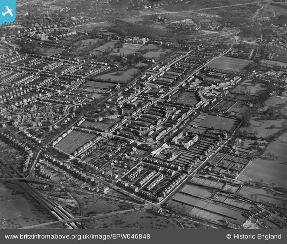
EPW046848 ENGLAND (1935). The residential area surrounding Huntingfield Road and The Pleasance, Roehampton, 1935
© Hawlfraint cyfranwyr OpenStreetMap a thrwyddedwyd gan yr OpenStreetMap Foundation. 2025. Trwyddedir y gartograffeg fel CC BY-SA.
Delweddau cyfagos (5)
EPW046848

EPW046843

EPW046842

EPW046847

EPW046841

Manylion
| Pennawd | [EPW046848] The residential area surrounding Huntingfield Road and The Pleasance, Roehampton, 1935 |
| Cyfeirnod | EPW046848 |
| Dyddiad | April-1935 |
| Dolen | |
| Enw lle | ROEHAMPTON |
| Plwyf | |
| Ardal | |
| Gwlad | ENGLAND |
| Dwyreiniad / Gogleddiad | 522477, 175062 |
| Hydred / Lledred | -0.23680731661985, 51.460776705193 |
| Cyfeirnod Grid Cenedlaethol | TQ225751 |
Pinnau
 Leslie B |
Wednesday 17th of August 2022 11:02:08 PM | |
AJC48 |
Sunday 20th of September 2015 09:17:31 PM | |
John |
Monday 6th of October 2014 06:49:29 PM | |
John |
Monday 6th of October 2014 06:48:28 PM |