
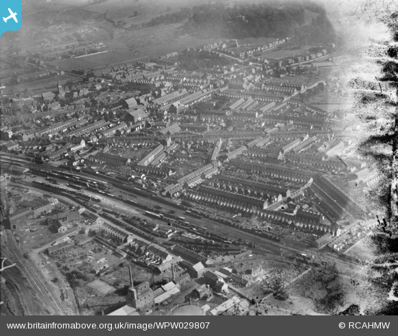
WPW029807 WALES (1929). View of Neath, oblique aerial view. 5"x4" black and white glass plate negative.
© Hawlfraint cyfranwyr OpenStreetMap a thrwyddedwyd gan yr OpenStreetMap Foundation. 2025. Trwyddedir y gartograffeg fel CC BY-SA.
Delweddau cyfagos (5)
WPW029799

WPW029802

WPW029804

WPW029805

WPW029807

Manylion
| Pennawd | [WPW029807] View of Neath, oblique aerial view. 5"x4" black and white glass plate negative. |
| Cyfeirnod | WPW029807 |
| Dyddiad | 1929 |
| Dolen | Coflein Archive Item 6370655 |
| Enw lle | |
| Plwyf | |
| Ardal | |
| Gwlad | WALES |
| Dwyreiniad / Gogleddiad | 274000, 197000 |
| Hydred / Lledred | -3.8217466213702, 51.657179567368 |
| Cyfeirnod Grid Cenedlaethol | SS740970 |
Pinnau
 Ifor |
Sunday 19th of October 2014 04:34:11 PM | |
Ifor |
Sunday 19th of October 2014 04:28:54 PM | |
Ifor |
Sunday 19th of October 2014 04:28:16 PM | |
Ifor |
Sunday 19th of October 2014 04:26:41 PM | |
Ifor |
Sunday 19th of October 2014 04:26:03 PM | |
Ifor |
Sunday 19th of October 2014 04:24:56 PM | |
Ifor |
Sunday 19th of October 2014 04:24:10 PM | |
Ifor |
Sunday 19th of October 2014 04:23:15 PM | |
Chelsea61 |
Thursday 28th of June 2012 11:48:07 PM |
Cyfraniadau Grŵp
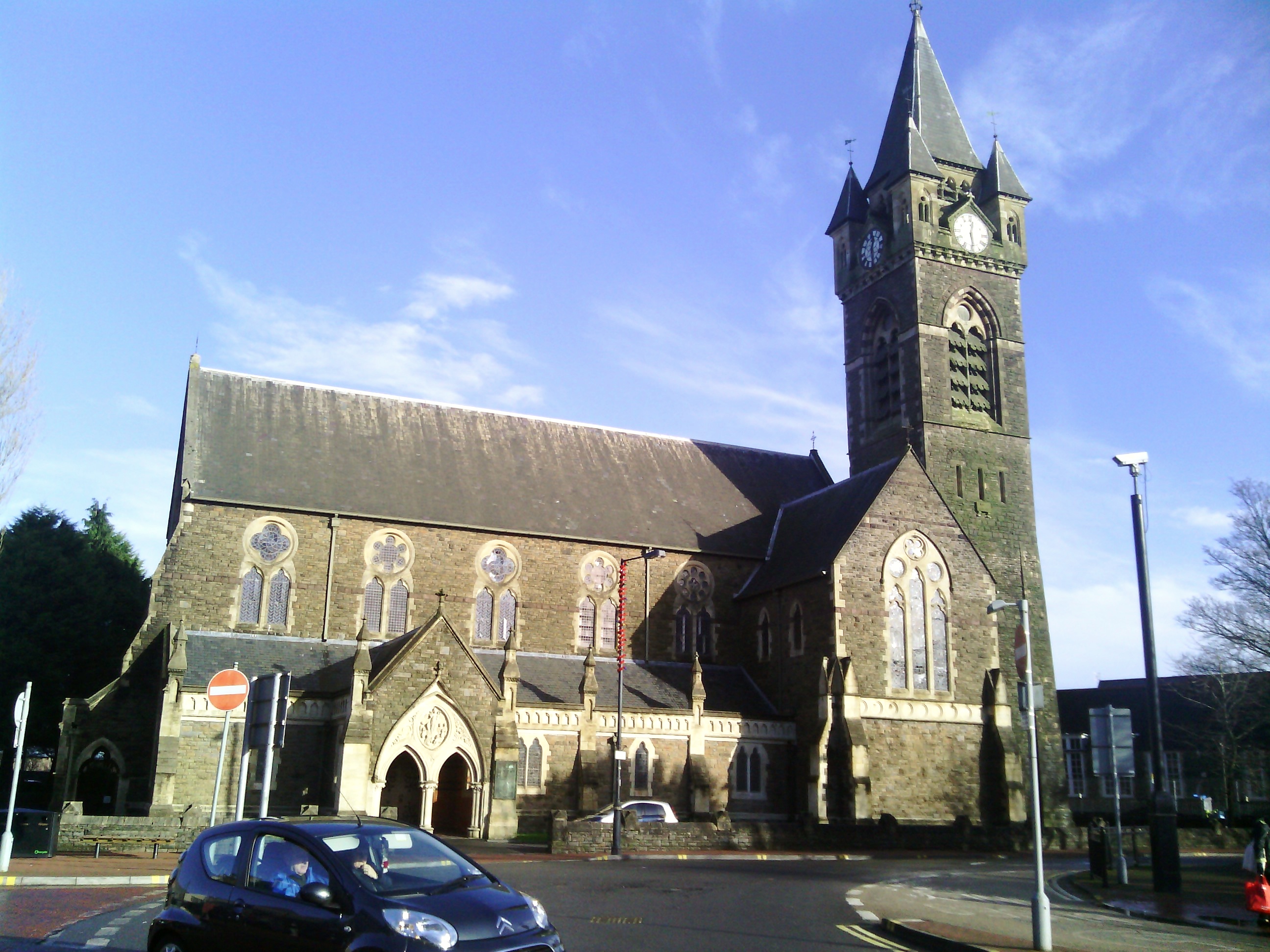 St. Davids Church today 31/12/2013 |
 Class31 |
Tuesday 31st of December 2013 09:36:14 PM |