
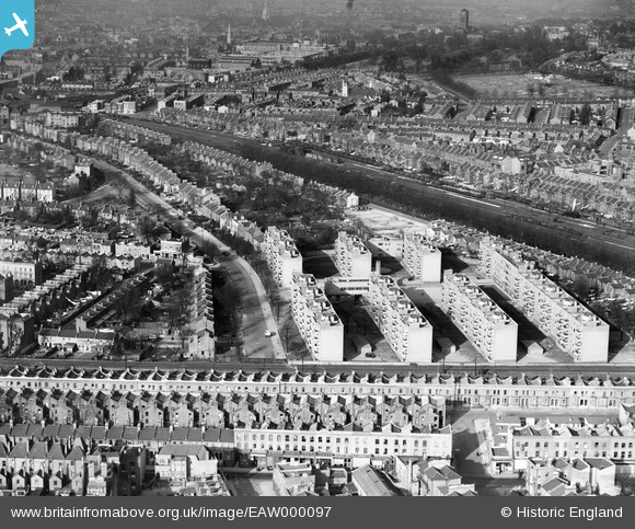
EAW000097 ENGLAND (1946). Flats at Herne Hill, Brixton, 1946
© Copyright OpenStreetMap contributors and licensed by the OpenStreetMap Foundation. 2025. Cartography is licensed as CC BY-SA.
Nearby Images (5)
EAW000097

EAW000098

EAW000096

EPW060447

EAW000095

Details
| Title | [EAW000097] Flats at Herne Hill, Brixton, 1946 |
| Reference | EAW000097 |
| Date | 1-April-1946 |
| Link | |
| Place name | BRIXTON |
| Parish | |
| District | |
| Country | ENGLAND |
| Easting / Northing | 531732, 175127 |
| Longitude / Latitude | -0.10362278129305, 51.45928234066 |
| National Grid Reference | TQ317751 |
Pins
Be the first to add a comment to this image!