EAW003736 ENGLAND (1947). Extensive flooding around Huntingdon, Godmanchester, from the south-east, 1947

© Copyright OpenStreetMap contributors and licensed by the OpenStreetMap Foundation. 2025. Cartography is licensed as CC BY-SA.
Nearby Images (13)
EAW003736

EAW031837

EAW031844

EPW014429

EAW031838

EAW031841

EAW031843

EAW031840

EAW031842

EAW031845

EAW031839

EPW041329

EPW041330

Details
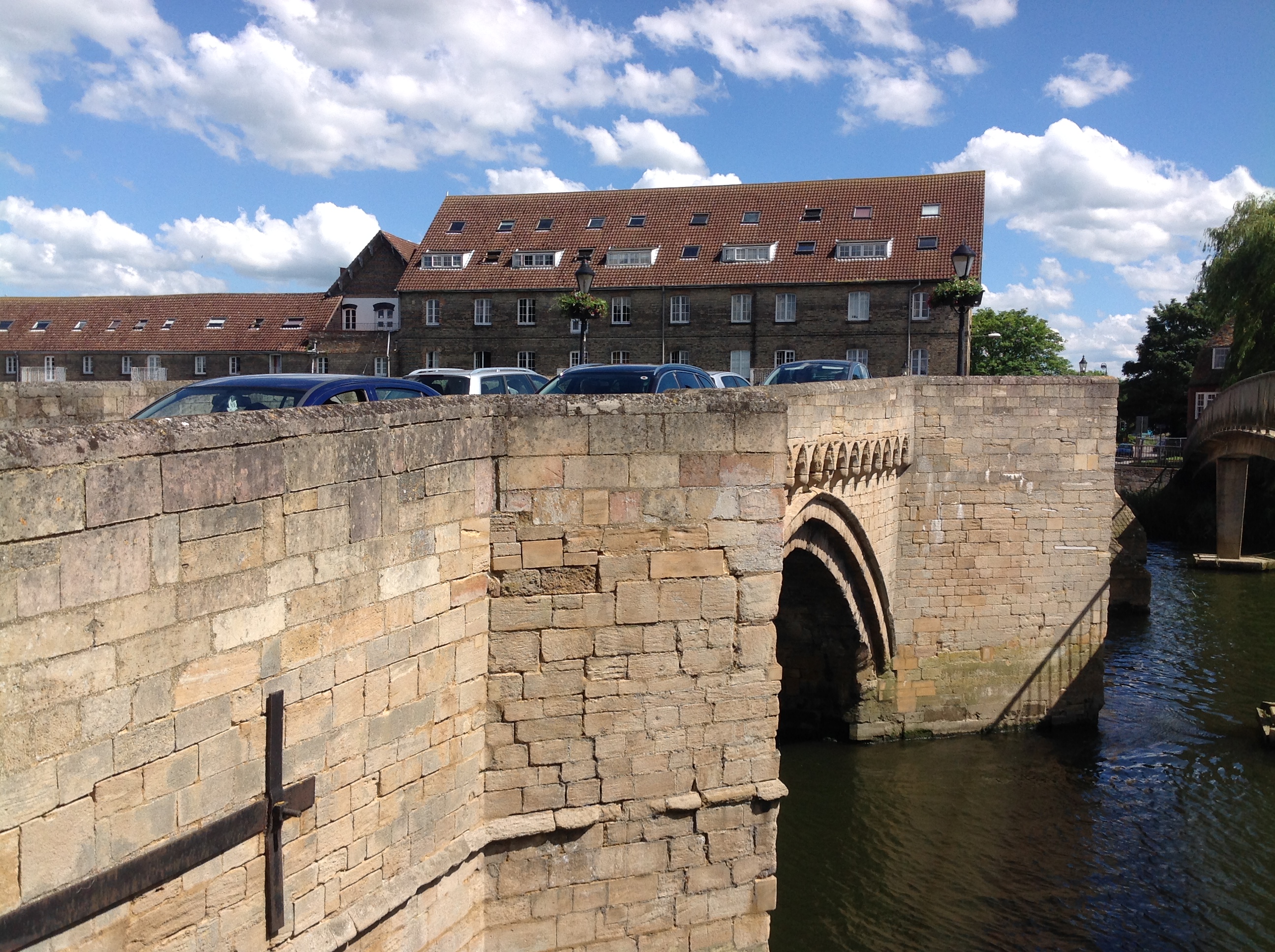
| Title | [EAW003736] Extensive flooding around Huntingdon, Godmanchester, from the south-east, 1947 |
| Reference | EAW003736 |
| Date | 18-March-1947 |
| Link | |
| Place name | GODMANCHESTER |
| Parish | GODMANCHESTER |
| District | |
| Country | ENGLAND |
| Easting / Northing | 524456, 271315 |
| Longitude / Latitude | -0.17358373643843, 52.325411029174 |
| National Grid Reference | TL245713 |
Pins
 Matt Aldred edob.mattaldred.com |
Friday 10th of January 2020 03:24:47 PM | |
Matt Aldred edob.mattaldred.com |
Friday 3rd of May 2019 05:29:18 PM | |
 Class31 |
Wednesday 11th of June 2014 03:49:32 PM | |
Class31 |
Wednesday 11th of June 2014 03:47:44 PM | |
Class31 |
Wednesday 11th of June 2014 03:46:29 PM | |
Class31 |
Wednesday 11th of June 2014 03:42:46 PM | |
Class31 |
Wednesday 11th of June 2014 03:39:42 PM | |
 Amadis |
Sunday 22nd of December 2013 09:41:31 PM |