EAW024615 ENGLAND (1949). The Shell Haven Oil Refinery, Corringham, 1949. This image was marked by Aerofilms Ltd for photo editing.

© Copyright OpenStreetMap contributors and licensed by the OpenStreetMap Foundation. 2025. Cartography is licensed as CC BY-SA.
Nearby Images (9)
EAW024615

EAW034226

EAW029142

EAW034239

EAW021808

EAW034238

EAW003532

EAW034230

EAW024626

Details
| Title | [EAW024615] The Shell Haven Oil Refinery, Corringham, 1949. This image was marked by Aerofilms Ltd for photo editing. |
| Reference | EAW024615 |
| Date | 11-July-1949 |
| Link | |
| Place name | CORRINGHAM |
| Parish | |
| District | |
| Country | ENGLAND |
| Easting / Northing | 572214, 182250 |
| Longitude / Latitude | 0.48210091504772, 51.51240842916 |
| National Grid Reference | TQ722823 |
Pins
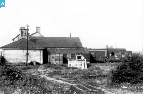
 Corringham Light Railway |
Friday 26th of September 2014 11:50:04 AM | |
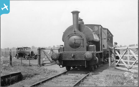
Corringham Light Railway |
Friday 26th of September 2014 11:48:53 AM | |
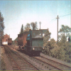
Corringham Light Railway |
Friday 26th of September 2014 11:47:23 AM | |
Corringham Light Railway |
Friday 26th of September 2014 11:45:46 AM | |
Corringham Light Railway |
Friday 26th of September 2014 11:41:00 AM | |
Corringham Light Railway |
Friday 26th of September 2014 11:39:23 AM | |
Corringham Light Railway |
Friday 26th of September 2014 11:38:08 AM | |
Corringham Light Railway |
Friday 26th of September 2014 11:35:04 AM |