
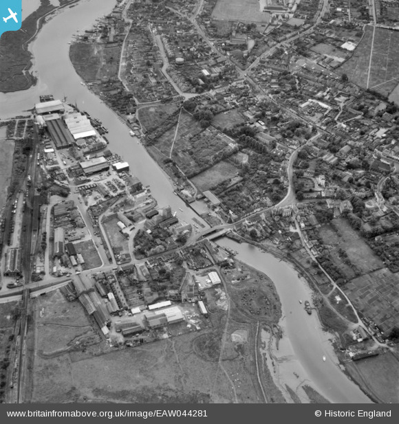
EAW044281 ENGLAND (1952). The River Chelmer, Maldon, 1952
© Copyright OpenStreetMap contributors and licensed by the OpenStreetMap Foundation. 2025. Cartography is licensed as CC BY-SA.
Nearby Images (3)
EAW044281

EPW054681

EAW044282

Details
| Title | [EAW044281] The River Chelmer, Maldon, 1952 |
| Reference | EAW044281 |
| Date | 15-June-1952 |
| Link | |
| Place name | MALDON |
| Parish | MALDON |
| District | |
| Country | ENGLAND |
| Easting / Northing | 585135, 207311 |
| Longitude / Latitude | 0.68136442743863, 51.733433120602 |
| National Grid Reference | TL851073 |
Pins
 Matt Aldred edob.mattaldred.com |
Sunday 30th of January 2022 11:17:25 AM | |
Matt Aldred edob.mattaldred.com |
Sunday 30th of January 2022 11:14:51 AM | |
Matt Aldred edob.mattaldred.com |
Sunday 30th of January 2022 11:13:18 AM | |
 John W |
Sunday 31st of July 2016 05:16:28 PM | |
John W |
Sunday 31st of July 2016 05:15:12 PM | |
John W |
Sunday 31st of July 2016 05:14:13 PM | |
sumonkey |
Sunday 3rd of January 2016 09:44:38 AM | |
ken |
Thursday 6th of August 2015 03:24:37 PM |