
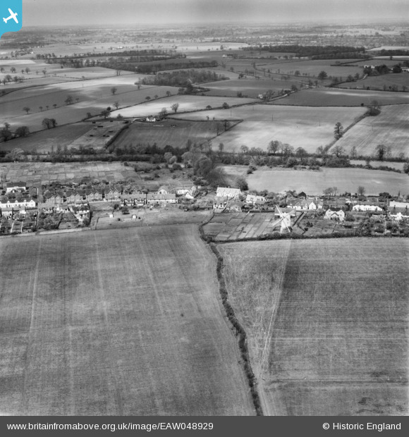
EAW048929 ENGLAND (1953). Bocking Windmill and Church Street, Bocking Churchstreet, from the south-east, 1953
© Copyright OpenStreetMap contributors and licensed by the OpenStreetMap Foundation. 2025. Cartography is licensed as CC BY-SA.
Nearby Images (2)
EAW048929

EAW048930

Details
| Title | [EAW048929] Bocking Windmill and Church Street, Bocking Churchstreet, from the south-east, 1953 |
| Reference | EAW048929 |
| Date | 2-May-1953 |
| Link | |
| Place name | BOCKING CHURCHSTREET |
| Parish | |
| District | |
| Country | ENGLAND |
| Easting / Northing | 576289, 225861 |
| Longitude / Latitude | 0.56282892341527, 51.902920698673 |
| National Grid Reference | TL763259 |
Pins
Be the first to add a comment to this image!