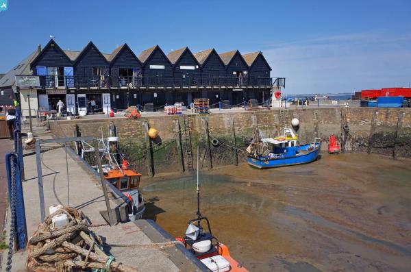
EPW018623 ENGLAND (1927). The Harbour, Whitstable, 1927

© Copyright OpenStreetMap contributors and licensed by the OpenStreetMap Foundation. 2025. Cartography is licensed as CC BY-SA.
Nearby Images (4)
EPW018623

EPW054079

EPW054080

EPW009153

Details
| Title | [EPW018623] The Harbour, Whitstable, 1927 |
| Reference | EPW018623 |
| Date | 22-June-1927 |
| Link | |
| Place name | WHITSTABLE |
| Parish | |
| District | |
| Country | ENGLAND |
| Easting / Northing | 610801, 167094 |
| Longitude / Latitude | 1.0284671904407, 51.36323099543 |
| National Grid Reference | TR108671 |
Pins
 Alan McFaden |
Wednesday 9th of July 2014 09:03:58 AM | |
Alan McFaden |
Wednesday 9th of July 2014 09:01:16 AM | |
 Maurice |
Tuesday 21st of May 2013 07:47:36 AM | |
Maurice |
Tuesday 21st of May 2013 07:05:19 AM | |
Maurice |
Tuesday 21st of May 2013 06:58:38 AM | |
They also appear in EPW035504, viewed from better angle. |
Maurice |
Tuesday 21st of May 2013 07:07:41 AM |
Maurice |
Tuesday 21st of May 2013 06:56:16 AM | |
Maurice |
Tuesday 21st of May 2013 06:54:49 AM |