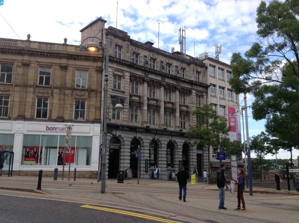
EPW021136 ENGLAND (1928). Fitzalan Square and environs, Sheffield, 1928

© Copyright OpenStreetMap contributors and licensed by the OpenStreetMap Foundation. 2025. Cartography is licensed as CC BY-SA.
Nearby Images (21)
EPW021136

EPW055232

EPW021137

EAW042504

EPW055243

EPW021138

EPW055239

EAW031292

EPW055241

EPW055249

EAW042503

EPW055248

EPW041621

EPW055236

EPW015466

EPW005965

EPW055234

EPW055240

EPW015461

EAW031291

EPW055231

Details
| Title | [EPW021136] Fitzalan Square and environs, Sheffield, 1928 |
| Reference | EPW021136 |
| Date | April-1928 |
| Link | |
| Place name | SHEFFIELD |
| Parish | |
| District | |
| Country | ENGLAND |
| Easting / Northing | 435676, 387507 |
| Longitude / Latitude | -1.4635864938913, 53.382940491843 |
| National Grid Reference | SK357875 |
Pins
 Boginspro |
Saturday 15th of October 2022 06:13:40 PM | |
attercliffe |
Sunday 3rd of January 2016 02:03:39 PM | |
 Class31 |
Tuesday 21st of July 2015 09:01:42 AM | |
bayleaf |
Friday 14th of June 2013 07:25:47 PM | |
Yorkie |
Monday 28th of January 2013 10:38:19 PM | |
Not really, This is the Norfolk Market hall which was built partly on the site of the Tontine Inn and was itself replaced by F.W. Woolworth's and some smaller shops on the Exchange Street side. Castle Market and previously Castle Hill Market were the other side of Exchange Street. Castle House was the Co-op building at the other end of Castle Street. |
Boginspro |
Saturday 15th of October 2022 06:27:50 PM |
Yorkie |
Monday 28th of January 2013 10:35:57 PM | |
Yorkie |
Monday 28th of January 2013 10:33:51 PM | |
Yorkie |
Monday 28th of January 2013 10:32:48 PM | |
Yorkie |
Monday 28th of January 2013 10:30:04 PM |