
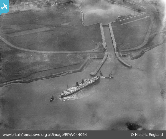
EPW044064 ENGLAND (1934). A ship entering the lock of Tilbury Docks, Tilbury, 1934
© Copyright OpenStreetMap contributors and licensed by the OpenStreetMap Foundation. 2025. Cartography is licensed as CC BY-SA.
Nearby Images (2)
EPW044064

EAW404063

Details
| Title | [EPW044064] A ship entering the lock of Tilbury Docks, Tilbury, 1934 |
| Reference | EPW044064 |
| Date | April-1934 |
| Link | |
| Place name | TILBURY |
| Parish | |
| District | |
| Country | ENGLAND |
| Easting / Northing | 562510, 175613 |
| Longitude / Latitude | 0.33931266251598, 51.455649797385 |
| National Grid Reference | TQ625756 |
Pins
Be the first to add a comment to this image!