
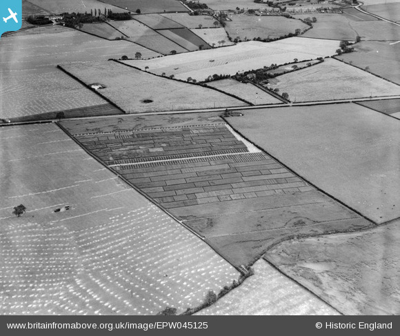
EPW045125 ENGLAND (1934). Trial plots and fields between Runcorn Road and Leigh Lane, Little Leigh, 1934
© Copyright OpenStreetMap contributors and licensed by the OpenStreetMap Foundation. 2025. Cartography is licensed as CC BY-SA.
Nearby Images (20)
EPW045125

EPW045121

EAW030030

EPW032585

EPW045123

EAW030029

EPW045120

EPW032589

EAW030031

EPW045124

EAW030019

EAW030020

EAW030028

EPW045122

EAW030035

EAW030033

EAW030032

EAW030034

EAW017275

EAW030044

Details
| Title | [EPW045125] Trial plots and fields between Runcorn Road and Leigh Lane, Little Leigh, 1934 |
| Reference | EPW045125 |
| Date | July-1934 |
| Link | |
| Place name | LITTLE LEIGH |
| Parish | LITTLE LEIGH |
| District | |
| Country | ENGLAND |
| Easting / Northing | 361249, 376732 |
| Longitude / Latitude | -2.5813272738915, 53.28586467838 |
| National Grid Reference | SJ612767 |
Pins
 Bottom Yard |
Monday 3rd of December 2018 05:53:32 PM | |
Bottom Yard |
Monday 3rd of December 2018 05:52:02 PM | |
Bottom Yard |
Monday 3rd of December 2018 05:51:03 PM | |
Bottom Yard |
Monday 3rd of December 2018 05:48:41 PM | |
Bottom Yard |
Monday 3rd of December 2018 05:46:45 PM | |
Bottom Yard |
Monday 3rd of December 2018 05:42:58 PM | |
Bottom Yard |
Monday 3rd of December 2018 05:35:08 PM |