
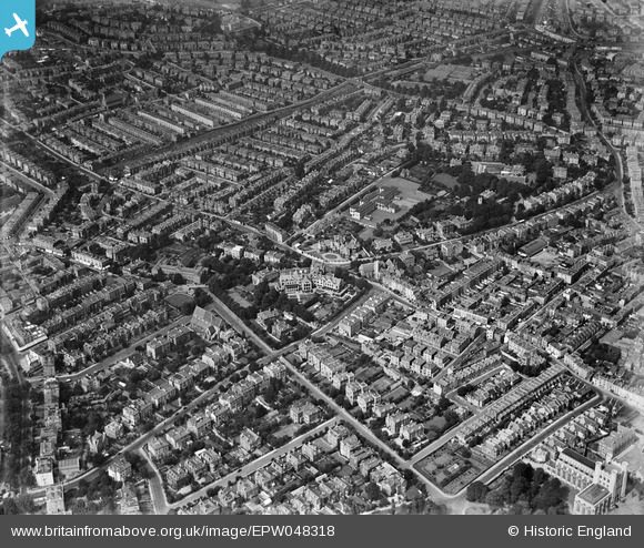
EPW048318 ENGLAND (1935). The residential area at Cotham, Cotham, 1935
© Copyright OpenStreetMap contributors and licensed by the OpenStreetMap Foundation. 2025. Cartography is licensed as CC BY-SA.
Nearby Images (3)
EPW048318

EPW060116

EPW048317

Details
| Title | [EPW048318] The residential area at Cotham, Cotham, 1935 |
| Reference | EPW048318 |
| Date | July-1935 |
| Link | |
| Place name | COTHAM |
| Parish | |
| District | |
| Country | ENGLAND |
| Easting / Northing | 358174, 173902 |
| Longitude / Latitude | -2.6021299466978, 51.462056669519 |
| National Grid Reference | ST582739 |
Pins
 Igrade |
Thursday 20th of February 2014 09:03:56 PM | |
Braikenridge |
Sunday 5th of May 2013 01:51:59 PM |