
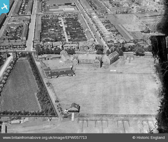
EPW057713 ENGLAND (1938). The Northampton Town and County School (Northampton School for Boys), Northampton, 1938. This image has been produced from a damaged negative.
© Copyright OpenStreetMap contributors and licensed by the OpenStreetMap Foundation. 2025. Cartography is licensed as CC BY-SA.
Nearby Images (6)
EPW057713
, Northampton, 1938. This image has been produced from a damaged negative.")
EPW057709
 and playing fields and the surrounding residential area, Northampton, 1938")
EPW057711
 and playing fields, Northampton, 1938")
EPW057710
 and playing fields, Northampton, 1938. This image has been produced from a damaged negative.")
EPW057712
 and playing fields, Northampton, 1938")
EPW057714
 and playing fields, Northampton, 1938. This image has been produced from a damaged negative.")
Details
| Title | [EPW057713] The Northampton Town and County School (Northampton School for Boys), Northampton, 1938. This image has been produced from a damaged negative. |
| Reference | EPW057713 |
| Date | 21-June-1938 |
| Link | |
| Place name | NORTHAMPTON |
| Parish | |
| District | |
| Country | ENGLAND |
| Easting / Northing | 477444, 260693 |
| Longitude / Latitude | -0.8657434636333, 52.238574953286 |
| National Grid Reference | SP774607 |
Pins
Be the first to add a comment to this image!