
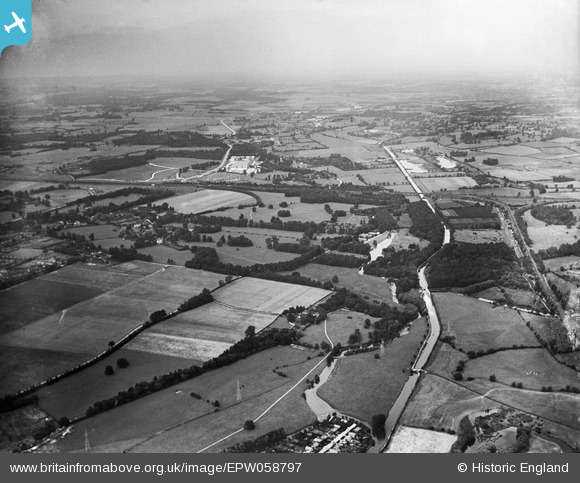
EPW058797 ENGLAND (1938). The village and surrounding countryside, Denham, from the south-east, 1938
© Copyright OpenStreetMap contributors and licensed by the OpenStreetMap Foundation. 2025. Cartography is licensed as CC BY-SA.
Nearby Images (2)
EPW058797

EAW002316
 (Western Avenue) under construction passing over the Grand Union Canal and River Colne, Willowbrook, 1946")
Details
| Title | [EPW058797] The village and surrounding countryside, Denham, from the south-east, 1938 |
| Reference | EPW058797 |
| Date | 24-August-1938 |
| Link | |
| Place name | DENHAM |
| Parish | DENHAM |
| District | |
| Country | ENGLAND |
| Easting / Northing | 505026, 185982 |
| Longitude / Latitude | -0.48467781653963, 51.562448337665 |
| National Grid Reference | TQ050860 |
Pins
 John Stephenson |
Friday 29th of January 2021 06:28:37 PM | |
John Stephenson |
Friday 29th of January 2021 06:26:35 PM | |
moses72 |
Tuesday 3rd of November 2015 05:25:44 PM | |
The Laird |
Saturday 26th of September 2015 07:05:37 PM | |
moses72 |
Friday 30th of August 2013 07:08:32 PM | |
moses72 |
Friday 30th of August 2013 07:06:09 PM | |
moses72 |
Friday 30th of August 2013 07:05:12 PM | |
moses72 |
Friday 30th of August 2013 07:01:15 PM | |
moses72 |
Friday 30th of August 2013 06:59:39 PM | |
moses72 |
Friday 30th of August 2013 06:58:09 PM | |
moses72 |
Friday 30th of August 2013 06:56:27 PM |