
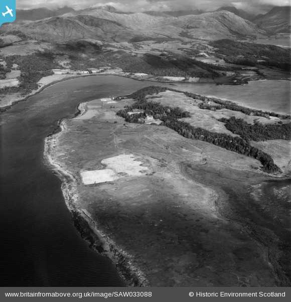
SAW033088 SCOTLAND (1950). Isle of Eriska, general view, showing Eriska House and Glaceriska Bay. An oblique aerial photograph taken facing east.
© Copyright OpenStreetMap contributors and licensed by the OpenStreetMap Foundation. 2025. Cartography is licensed as CC BY-SA.
Nearby Images (6)
SAW033084

SAW033085

SAW033086

SAW033088

SAW033089

SAW033090

Details
| Title | [SAW033088] Isle of Eriska, general view, showing Eriska House and Glaceriska Bay. An oblique aerial photograph taken facing east. |
| Reference | SAW033088 |
| Date | 1950 |
| Link | Canmore Collection item 1297602 |
| Place name | |
| Parish | ARDCHATTAN AND MUCKAIRN (ARGYLL AND BUTE) |
| District | ARGYLL AND BUTE |
| Country | SCOTLAND |
| Easting / Northing | 190241, 743071 |
| Longitude / Latitude | -5.4114491300636, 56.532861996129 |
| National Grid Reference | NM902431 |
Pins
Be the first to add a comment to this image!