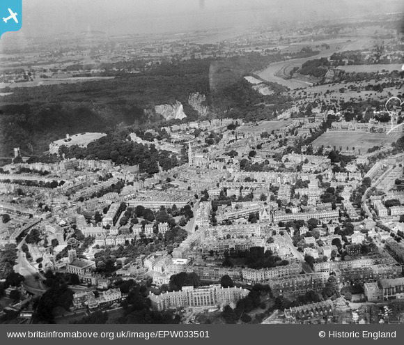
EPW033501 ENGLAND (1930). Clifton and Holy Trinity Church, Clifton, from the south-east, 1930
© Hawlfraint cyfranwyr OpenStreetMap a thrwyddedwyd gan yr OpenStreetMap Foundation. 2025. Trwyddedir y gartograffeg fel CC BY-SA.
Delweddau cyfagos (2)
EPW033501

EPW041481

Manylion
| Pennawd | [EPW033501] Clifton and Holy Trinity Church, Clifton, from the south-east, 1930 |
| Cyfeirnod | EPW033501 |
| Dyddiad | July-1930 |
| Dolen | |
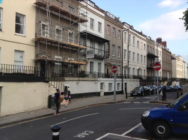
| Enw lle | CLIFTON |
| Plwyf | |
| Ardal | |
| Gwlad | ENGLAND |
| Dwyreiniad / Gogleddiad | 357398, 173129 |
| Hydred / Lledred | -2.6132074618212, 51.455047917334 |
| Cyfeirnod Grid Cenedlaethol | ST574731 |
Pinnau
 NottmJas |
Monday 16th of May 2022 06:38:03 PM | |
NottmJas |
Monday 22nd of June 2020 10:39:30 PM | |
 Class31 |
Tuesday 1st of October 2013 10:17:58 AM | |
Class31 |
Tuesday 1st of October 2013 10:16:36 AM | |
Class31 |
Tuesday 1st of October 2013 10:15:28 AM | |
 |
Class31 |
Tuesday 1st of October 2013 10:11:58 AM |
Heathland |
Thursday 4th of July 2013 03:01:10 PM | |
Class31 |
Wednesday 6th of February 2013 03:14:19 PM |