
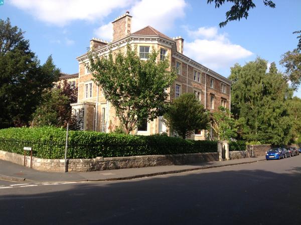
EPW041481 ENGLAND (1933). Lansdown Road, Clifton College and environs, Clifton, from the south-east, 1933

© Hawlfraint cyfranwyr OpenStreetMap a thrwyddedwyd gan yr OpenStreetMap Foundation. 2025. Trwyddedir y gartograffeg fel CC BY-SA.
Delweddau cyfagos (3)
EPW041481

EPW033501

EPW005475

Manylion
| Pennawd | [EPW041481] Lansdown Road, Clifton College and environs, Clifton, from the south-east, 1933 |
| Cyfeirnod | EPW041481 |
| Dyddiad | June-1933 |
| Dolen | |
| Enw lle | CLIFTON |
| Plwyf | |
| Ardal | |
| Gwlad | ENGLAND |
| Dwyreiniad / Gogleddiad | 357258, 173301 |
| Hydred / Lledred | -2.6152432703723, 51.456583995569 |
| Cyfeirnod Grid Cenedlaethol | ST573733 |
Pinnau


Cyfraniadau Grŵp
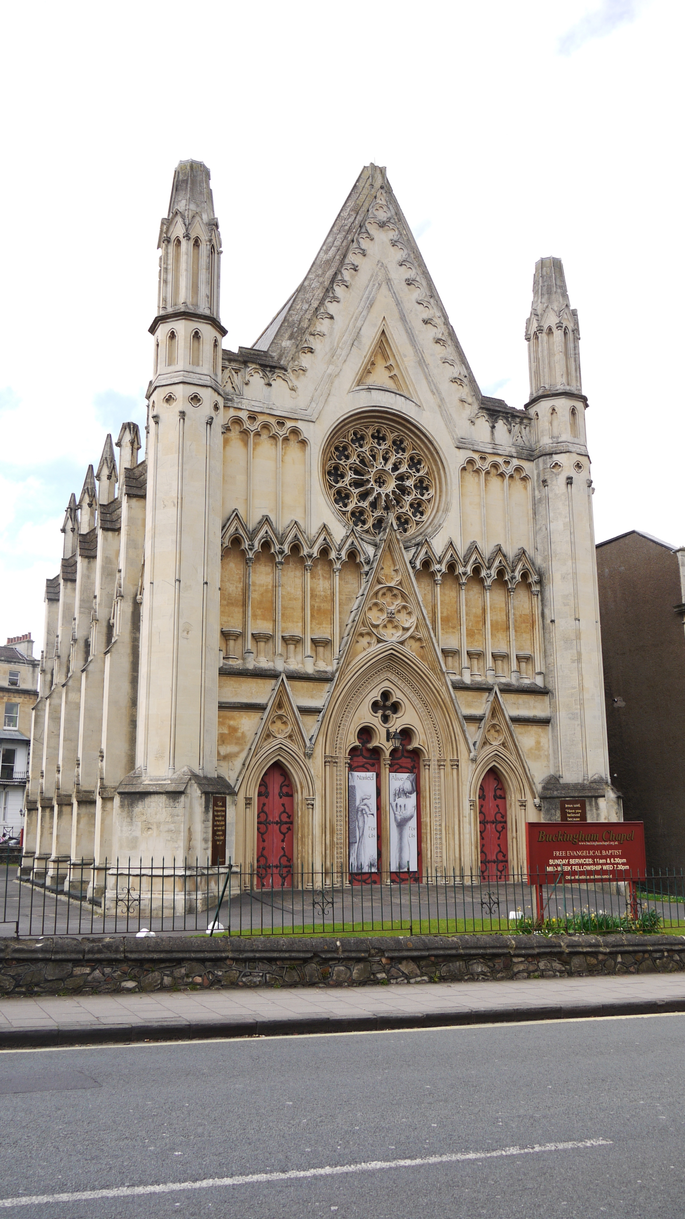 Buckingham Baptist Chapel, Queens Road, Clifton, Bristol, 13/04/2015 |
 Class31 |
Tuesday 14th of April 2015 02:47:21 PM |