
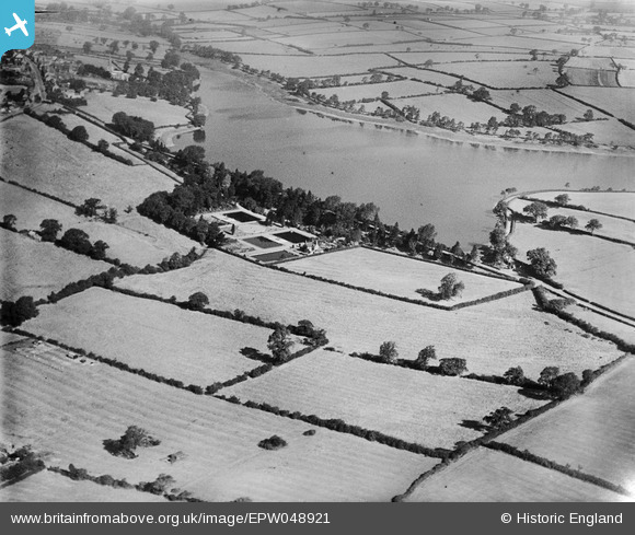
EPW048921 ENGLAND (1935). The Thornton Reservoir and Water Works, Thornton, 1935
© Hawlfraint cyfranwyr OpenStreetMap a thrwyddedwyd gan yr OpenStreetMap Foundation. 2025. Trwyddedir y gartograffeg fel CC BY-SA.
Delweddau cyfagos (6)
EPW048921

EPW048925

EPW048922

EPW048923

EPW048924

EPW048920

Manylion
| Pennawd | [EPW048921] The Thornton Reservoir and Water Works, Thornton, 1935 |
| Cyfeirnod | EPW048921 |
| Dyddiad | August-1935 |
| Dolen | |
| Enw lle | THORNTON |
| Plwyf | BAGWORTH & THORNTON |
| Ardal | |
| Gwlad | ENGLAND |
| Dwyreiniad / Gogleddiad | 447393, 307200 |
| Hydred / Lledred | -1.2992235049932, 52.660099134427 |
| Cyfeirnod Grid Cenedlaethol | SK474072 |
Pinnau
 Timboishere |
Friday 2nd of December 2016 02:06:20 PM | |
Timboishere |
Friday 2nd of December 2016 02:05:03 PM | |
Timboishere |
Friday 2nd of December 2016 02:03:07 PM | |
Timboishere |
Friday 2nd of December 2016 02:01:43 PM |