
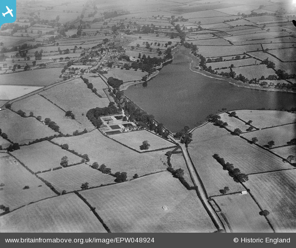
EPW048924 ENGLAND (1935). The Thornton Reservoir and Water Works, Thornton, 1935
© Hawlfraint cyfranwyr OpenStreetMap a thrwyddedwyd gan yr OpenStreetMap Foundation. 2025. Trwyddedir y gartograffeg fel CC BY-SA.
Delweddau cyfagos (6)
EPW048924

EPW048923

EPW048922

EPW048925

EPW048921

EPW048920

Manylion
| Pennawd | [EPW048924] The Thornton Reservoir and Water Works, Thornton, 1935 |
| Cyfeirnod | EPW048924 |
| Dyddiad | August-1935 |
| Dolen | |
| Enw lle | THORNTON |
| Plwyf | BAGWORTH & THORNTON |
| Ardal | |
| Gwlad | ENGLAND |
| Dwyreiniad / Gogleddiad | 447346, 307291 |
| Hydred / Lledred | -1.2999053424077, 52.660921336936 |
| Cyfeirnod Grid Cenedlaethol | SK473073 |
Pinnau
 Timboishere |
Friday 2nd of December 2016 02:18:57 PM | |
Timboishere |
Tuesday 2nd of February 2016 12:48:05 PM | |
Timboishere |
Tuesday 2nd of February 2016 12:46:45 PM | |
Timboishere |
Tuesday 2nd of February 2016 12:42:53 PM | |
Timboishere |
Tuesday 2nd of February 2016 12:38:01 PM |