
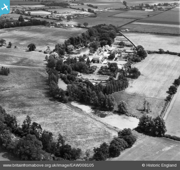
EAW008105 ENGLAND (1947). Thorpe Hall and environs, Thorpe-le-Soken, 1947
© Copyright OpenStreetMap contributors and licensed by the OpenStreetMap Foundation. 2025. Cartography is licensed as CC BY-SA.
Nearby Images (9)
EAW008105

EAW008098

EAW008102

EAW008099

EAW008101

EAW008097

EAW008100

EAW008096

EAW008103

Details
| Title | [EAW008105] Thorpe Hall and environs, Thorpe-le-Soken, 1947 |
| Reference | EAW008105 |
| Date | 12-July-1947 |
| Link | |
| Place name | THORPE-LE-SOKEN |
| Parish | THORPE-LE-SOKEN |
| District | |
| Country | ENGLAND |
| Easting / Northing | 618152, 221721 |
| Longitude / Latitude | 1.1678938241792, 51.850937037973 |
| National Grid Reference | TM182217 |
Pins
 totoro |
Tuesday 27th of December 2016 12:54:07 PM | |
totoro |
Tuesday 27th of December 2016 12:53:44 PM | |
totoro |
Tuesday 27th of December 2016 12:53:23 PM |