
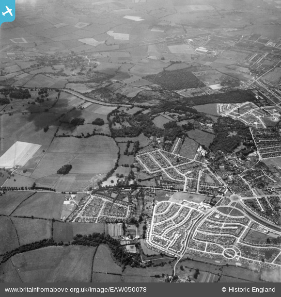
EAW050078 ENGLAND (1953). Shotover Hill and housing development at Risinghurst and Sandhills, Risinghurst, 1953
© Copyright OpenStreetMap contributors and licensed by the OpenStreetMap Foundation. 2025. Cartography is licensed as CC BY-SA.
Nearby Images (2)
EAW050078

EAW050076

Details
| Title | [EAW050078] Shotover Hill and housing development at Risinghurst and Sandhills, Risinghurst, 1953 |
| Reference | EAW050078 |
| Date | 26-June-1953 |
| Link | |
| Place name | RISINGHURST |
| Parish | RISINGHURST AND SANDHILLS |
| District | |
| Country | ENGLAND |
| Easting / Northing | 456261, 206774 |
| Longitude / Latitude | -1.1848053826527, 51.756372008544 |
| National Grid Reference | SP563068 |
Pins
 David Brimson |
Monday 12th of May 2025 02:48:37 PM | |
David Brimson |
Monday 12th of May 2025 02:47:41 PM |