
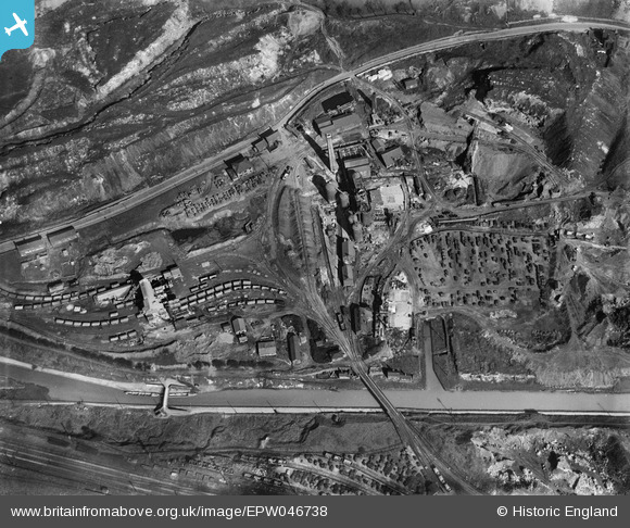
EPW046738 ENGLAND (1935). Goldendale Iron Works, Tunstall, 1935
© Copyright OpenStreetMap contributors and licensed by the OpenStreetMap Foundation. 2025. Cartography is licensed as CC BY-SA.
Nearby Images (9)
EPW046738

EPW046740

EPW046743

EPW046742

EPW046737

EPW046735

EPW046736

EPW046739

EPW046741

Details
| Title | [EPW046738] Goldendale Iron Works, Tunstall, 1935 |
| Reference | EPW046738 |
| Date | March-1935 |
| Link | |
| Place name | TUNSTALL |
| Parish | |
| District | |
| Country | ENGLAND |
| Easting / Northing | 385100, 351563 |
| Longitude / Latitude | -2.2223563686847, 53.060805484213 |
| National Grid Reference | SJ851516 |
Pins
Be the first to add a comment to this image!