
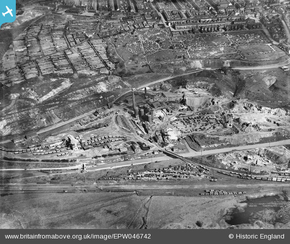
EPW046742 ENGLAND (1935). Goldendale Iron Works and Tunstall Cemetery, Tunstall, 1935
© Copyright OpenStreetMap contributors and licensed by the OpenStreetMap Foundation. 2025. Cartography is licensed as CC BY-SA.
Nearby Images (9)
EPW046742

EPW046743

EPW046737

EPW046735

EPW046738

EPW046740

EPW046736

EPW046739

EPW046741

Details
| Title | [EPW046742] Goldendale Iron Works and Tunstall Cemetery, Tunstall, 1935 |
| Reference | EPW046742 |
| Date | March-1935 |
| Link | |
| Place name | TUNSTALL |
| Parish | |
| District | |
| Country | ENGLAND |
| Easting / Northing | 385132, 351580 |
| Longitude / Latitude | -2.2218796139626, 53.060959206591 |
| National Grid Reference | SJ851516 |
Pins
 gbaddley |
Thursday 7th of November 2013 08:29:15 PM |