
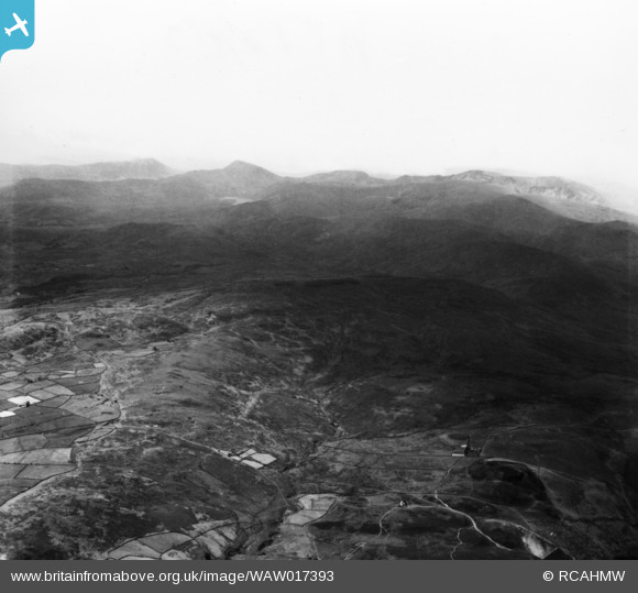
WAW017393 WALES (1948). View of mountains in Snowdonia to the south of Penmaenmawr. Oblique aerial photograph, 5½" cut roll film.
© Copyright OpenStreetMap contributors and licensed by the OpenStreetMap Foundation. 2025. Cartography is licensed as CC BY-SA.
Nearby Images (20)
WAW001743

WAW001744

WAW001745

WAW001746

WAW001747

WAW001748

WAW001749

WAW017393

WAW017394

WAW017395

WAW017396

WAW020513

WAW020514

WAW020515

WAW020516

WAW020517

WAW020518

WPW055761

WPW055762

WPW055763

Details
| Title | [WAW017393] View of mountains in Snowdonia to the south of Penmaenmawr. Oblique aerial photograph, 5½" cut roll film. |
| Reference | WAW017393 |
| Date | 20-July-1948 |
| Link | Coflein Archive Item 6423241 |
| Place name | |
| Parish | |
| District | |
| Country | WALES |
| Easting / Northing | 260800, 354500 |
| Longitude / Latitude | -4.0778482327032, 53.069274932495 |
| National Grid Reference | SH608545 |
Pins
 Class31 |
Wednesday 6th of May 2015 12:46:43 PM | |
Class31 |
Wednesday 6th of May 2015 12:45:39 PM | |
Class31 |
Wednesday 6th of May 2015 12:41:57 PM | |
Class31 |
Wednesday 6th of May 2015 12:39:26 PM | |
Class31 |
Wednesday 6th of May 2015 12:38:18 PM | |
Class31 |
Wednesday 6th of May 2015 12:36:46 PM | |
Class31 |
Wednesday 6th of May 2015 12:35:45 PM | |
Class31 |
Wednesday 6th of May 2015 12:32:37 PM | |
Class31 |
Wednesday 6th of May 2015 12:13:50 PM | |
Class31 |
Wednesday 6th of May 2015 12:12:14 PM | |
Class31 |
Wednesday 6th of May 2015 12:11:23 PM |
User Comment Contributions
The grid reference given is for the summit of Snowdon and is not at all accurate for the centre of the image. |
Class31 |
Wednesday 6th of May 2015 12:52:32 PM |